Most viewed - Virginia Counties
|
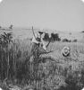
grainchburg.jpg713 viewsThis is a 1936 Farm Security Administration Photo from the files of the Library of Congress.
|
|

McCready - McCready Gap Foilage713 viewsFoliage at Maccrady Gap. Abingdon quadrangle. Virginia. No date, but circa 1910, From the U.S. Geological Survey.
|
|
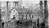
ugcsch.jpg712 viewsThis school was located on upper Grassy Creek in Grayson County, Virginia. The Photograph dates from the early 20th century.
|
|

Comers Rock - Baker Falls on Elk Creek712 viewsThis photo was shot from the road on March 21, 2008 by Jeff Weaver.
|
|

elizcem5.jpg711 viewsPhoto by Jeff Weaver, winter 2003.
|
|
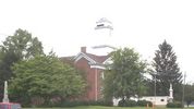
Bland Courthouse710 viewsPhoto by Jeff Weaver, summer 2003.
|
|
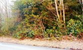
100_1264.jpg710 viewsThis roadside view was taken in the Jefferson National forest, near Fairwood, Grayson County, Virginia, March 12, 2006.
|
|

unknowngroup.jpg710 viewsThis photo, futher unidentified, come courtesy of Bryan Spencer.
|
|

hmbeach1940s.jpg710 viewsThis 1940s photo postcard of Hungry Mother Park shows the Children's play beach.
|
|

Saltville - Francis Preston House710 viewsFIREPLACE IN THE PRESTON HOUSE / SALTVILLE, VA. / FEBRUARY 1976. Courtesy of Don Smith dsmith1043@comcast.net
|
|

Konnarock -Laurel Valley Church Interior710 viewsPhoto by Jeff Weaver - Febryart 21, 2008
|
|
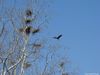
Saltville - Great Blue Heron710 viewsPhoto taken on the Sanders Farm, March 25, 2008 by Don Smith dsmith1043@comcast.net
|
|
| 2351 files on 196 page(s) |
 |
|
|
|
|
|
|
|
|
77 | |
|
|
|
|
|
|
|
|




