Most viewed - Virginia Counties
|

pics 155.jpg468 viewsPhoto September 27, 2006 by Jeff Weaver.
|
|

pics 240.jpg468 viewsThese new signs have gone up recently on US 58 proclaiming it "The Crooked Road." Photo October 8, 2006 by Jeff Weaver.
|
|
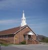
100_1563.jpg467 viewsPhoto by Jeff Weaver, April 14, 2006.
|
|
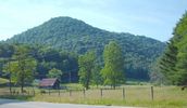
june2006pic 023.jpg467 viewsPhoto June 10, 2006 by Jeff Weaver.
|
|
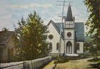
tazewellchristianchurch1910.jpg467 viewsThis is from a circa 1910 postcard.
|
|
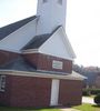
100_1839.jpg467 viewsPhoto November 1, 2006 by Jeff Weaver.
|
|
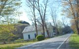
Edgewater - Sulphur Springs Methodist Church467 viewsLocated on the east side of Virginia Route 16 betweem Volney and Mouth of Wilson, this church closed in 1955. The building is currently being used as a barn. Photo by Jeff Weaver.
|
|
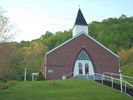
Picture 066.jpg466 viewsPhoto May 3, 2006 by Jeff Weaver
|
|

newhopemethch.jpg466 viewsNo longer used as a church, the building is now maintained by a community group. Photo summer 2005 by Jeff Weaver.
|
|

Cabin At Brumley Gap.466 viewsthis photo of a Cabin at Brumley Gap was taken on October 24, 2009 by Don Smith.
|
|
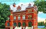
abingdonpo.jpg465 viewsEarly 20th century post card of the Abingdon, Virginia post office.
|
|

100_1339.jpg465 viewsPhoto March 24, 2006 by Jeff Weaver
|
|
| 2351 files on 196 page(s) |
 |
|
|
|
|
|
|
|
|
178 | |
|
|
|
|
|
|
|
|




