Most viewed - Virginia Counties
|
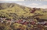
tazewellbev.jpg481 viewsThis postcard was made in the early part of the 20th century.
|
|
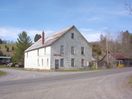
100_1445.jpg481 viewsLong abandoned as a store when this snapshot was taken April 2, 2006 by Jeff Weaver
|
|

Picture 152.jpg481 viewsPhoto May 1, 2006 by Jeff Weaver.
|
|

july2006pic 030.jpg481 viewsThis is Margaret Cox's gravestone.
|
|
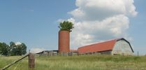
Rocky Hollow - Barn and Silo481 viewsOnce common, many are in disrepair. Note the tree growing out of the silo. Photo by Jeff Weaver, June 8, 2007.
|
|
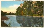
Abingdon - Holston River481 viewsThis postcard dating from the 1940s shows the Holston River near Abingdon. The river was absolutely critical in the settlement patterns of Washington County. You might be interested in The 1782 Washington County, Virginia Tax List
|
|

pics 423.jpg481 viewsThis mid-September 2007 photo shows the fogs that often roll in on the heights of the Grayson Highlands. Photo by Jeff Weaver.
|
|
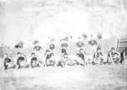
lester42.jpg480 viewsOnly three identified. First row next to the far right, Simon Thomas, far right, William Lester; Backrow far right Bower Thomas.
|
|
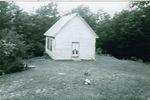
Grant - Rockbridge School480 viewsPhoto courtesy of Trula Fay Purkey.
|
|
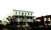
Meadowview - Health Clinic480 viewsPhoto by Jeff Weaver, Octooher 2007.
|
|

Picture 091~0.jpg479 viewsPhoto May 3, 2006 by Jeff Weaver.
|
|
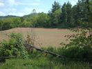
june2006pic 040.jpg479 viewsThis is a June 10, 2006 photo of a corn field on what was at one time "Old" John Hash's farm. Photo by Jeff Weaver.
|
|
| 2351 files on 196 page(s) |
 |
|
|
|
|
|
|
|
|
165 | |
|
|
|
|
|
|
|
|




