Last additions - Virginia Counties
|
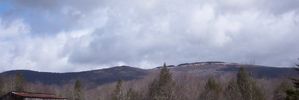
whitetopmtn.jpg634 viewsThis view of Whitetop Mountain taken from Whitetop Village, spring 2003.Jan 16, 2006
|
|

apptrail2.jpg1226 viewsThis marker is located on Route 600, near the Grayson/Smyth County line. Photo March 2003 by Jeff WeaverJan 16, 2006
|
|

mtrogerssign.jpg634 viewsMount Rogers was called Balsam Mountain by the locals before the powers that be imposed the name Mount Rogers on the place. Photo by Jeff Weaver, March 2003.Jan 16, 2006
|
|
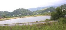
wellfields1.jpg919 viewsPhoto summer 2003 by Jeff WeaverJan 16, 2006
|
|
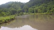
wellfields2.jpg950 viewsPhoto by Jeff Weaver, Summer 2003.Jan 16, 2006
|
|
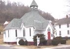
stpaulsepis.jpg963 viewsThis photo was taken in March 2003 by Jeff WeaverJan 16, 2006
|
|

rhodendron1.jpg465 viewsThis photo was taken on Tumbling Creek near Saltville, VA summer 2003. Photo by Jeff WeaverJan 16, 2006
|
|

elizcem1.jpg795 viewsPhoto taken winter 2003 by Jeff WeaverJan 16, 2006
|
|
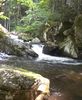
tumblingcreekfalls.jpg538 viewsView near Saltville, Virginia, taken summer 2003 by Jeff WeaverJan 16, 2006
|
|
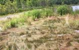
blackseagrass.jpg703 viewsThis is a photo of black sea grass taken in the well fields, Saltville, Virginia, summer 2003 by Jeff WeaverJan 16, 2006
|
|
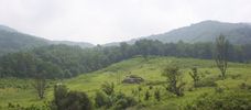
cmwr1.jpg556 viewsLocated near Saltville, Virginia, off Poor Valley Road. Photo by Jeff Weaver, summer 2003.Jan 16, 2006
|
|
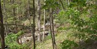
cabincrk.jpg881 viewsPhoto by Jeff Weaver, spring 2003.Jan 16, 2006
|
|
| 2351 files on 196 page(s) |
 |
|
|
|
|
|
|
|
|
|
|
|
|
|
|
|
194 | |
|




