Skip to content

New River Notes Photo Gallery

A Collection of historic and current photos mostly covering the upper New River area of southwestern Virginia and northwestern North Carolina.


Most viewed - Virginia Counties
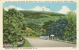
firetower.jpg
firetower.jpg810 viewsThis is a 1930-45 era postcard.
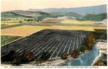
friesrr1910.jpg
friesrr1910.jpg810 viewsThis is from a 1910s postcard.
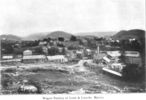
wagonfactry.jpg
wagonfactry.jpg810 viewsThis is a 1907 photo. Courtesy of Mary C. Blevins.
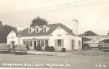
wythevillebusdepot.jpg
wythevillebusdepot.jpg809 viewsFrom a 1950s real photo postcard
greengable1.jpg
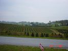
greengable1.jpg809 viewsThis photo was taken by Scott Trent, and shows the principal agricultural crop in western Grayson County in 2004.
DUKEENERGYGASLINEWALKERMT011.jpg
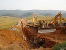
DUKEENERGYGASLINEWALKERMT011.jpg809 viewsDUKE ENERGY GAS LINE FROM VALLEY ROAD (RT. 610) LOOKING SOUTHEAST TOWARD WALKER MOUNTAIN ACROSS THE CHARLIE CLARK FARM. Courtesy of Don Smith dsmith1043@comcast.net
cards.jpg
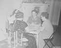
cards.jpg809 viewsFrom John Porter's photos from the late 1930s.
allisomgap3usgs.jpg
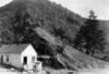
Allison Gap - Price Mountain809 viewsRidge making ledge of Price Mountain, probably to of Chemung strata, Allison Gap. No date, but circa 1910, Image from the U.S.Geological Survey.
saltvillepool.jpg
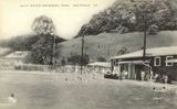
saltvillepool.jpg808 viewsCourtesy of the Museum of the Middle Applachians.
saltville1860.jpg
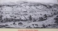
saltville1860.jpg808 viewsCourtesy of the Museum of the Middle Appalachians.
Picture 075.jpg
Picture 075.jpg808 viewsPhoto May 3, 2006 by Jeff Weaver.
100_1864.jpg
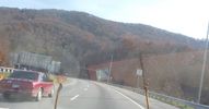
100_1864.jpg807 viewsApproching the tunnel in the southbound lane of I-77. Photo November 4, 2006 by Jeff Weaver.
2351 files on 196 page(s) 91