Most viewed - Virginia Counties
|
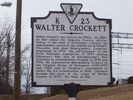
Wytheville - Walter Crockett Historucal Marker842 viewsPhoto by Shawn Dunford. Courtesy of David Arnold david.arnold@adelphia.net
|
|
thomasabiajh3.jpg841 viewsPhoto by Scott Trent.
|
|
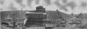
merrimacmine.jpg841 viewsThis is a circa 1905 photo of the Merrimac Anthracite Coal Mine and crusher near Christiansburg.
|
|
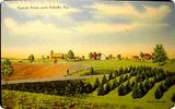
pulaskifarm.jpg841 viewsThis 1930s postcard shows a "typical" farm.
|
|
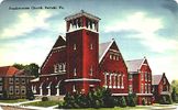
pulaskipresby~0.jpg840 viewsFrom a 1940s era postcard.
|
|
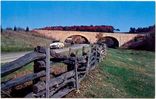
blueridgeparkwayatgalax.jpg840 viewsThis 1950s postcard shows the Blue Ridge Parkway crossing over Virginia Route 89, 6 miles south of Galax.
|
|
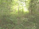
russellcem.jpg839 viewsThis is the original burial site of Madam Elizabeth Henry Russell. She was later moved to Aspenvale Cemetery at Seven Mile Ford. Photo June 2005, by Jeff Weaver
|
|

Saltville - Elizabeth Cemetery839 viewsStatue of Christ in Elizabeth Cemetery, April 25, 2009. Photo by Don Smith.
|
|
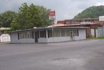
000_0739.JPG838 viewsT. J.'s is located behind Saltville Town Hall, and was formerly the Custard Stand. This photo was taken by Jeff Weaver June 2005.
|
|
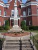
1908 Courthouse838 viewsPhoto by Jeff Weaver, September 2005. You might be interested in the Minutes of the Grayson County, Virginia Confederate Pension Board
|
|
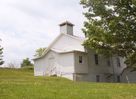
000_0675.JPG838 viewsphoto by Jeff Weaver, May 2005. This is principally an African American congregation, and member of the New Covenant Baptist Association.
|
|
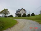
greengable5.jpg838 viewsThis photo is by Scott Trent, 2004.
|
|
| 2351 files on 196 page(s) |
 |
|
|
|
|
|
|
|
|
83 | |
|
|
|
|
|
|
|
|



