Most viewed - Virginia Counties
|
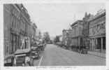
tazewellmain1926.jpg518 viewsThis is a 1926 view of Tazewell's Main Street.
|
|
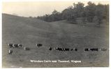
tazewellcattle20s.jpg517 viewsThis is from a 1920s era postcard. It shows the typical Appalachian whitefaced cattle. Whitefaced cattle are generally Polled Herefords
|
|
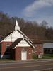
100_1448.jpg517 viewsThis congregation was established about 1913. Photo April 2, 2006 by Jeff Weaver
|
|
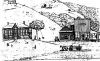
Sketch517 viewsDuring the first 90 years of Dickenson County's existence, the time period between 1880 and 1970, there evolved over one hundred identifiable communities, the nuclei of which consisted of any or all of the following: a one or two room school, a post office, a store, and a church. Sometimes the school served as a church or vice versa. The last rural post office in the county, Darwin, was discontinued in 1963. The last two rural schools, Dog Branch and Yates, closed in 1970. Very few country stores remain in
|
|
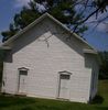
rockcrkchurch.jpg516 viewsPhoto by Jeff Weaver, summer 2003.
|
|
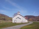
100_1427.jpg516 viewsPhoto April 2, 2006 by Jeff Weaver
|
|
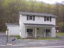
100_1600.jpg516 viewsPhoto by Jeff Weaver, April 19, 2006.
|
|
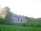
100_1689.jpg516 viewsPhoto April 23, 2006 by Jeff Weaver. This was the former home of the Broadford Church of God.
|
|
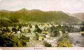
damascus1910.jpg516 viewsThis is from a 1910s postcard.
|
|
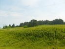
Whitetop - View of the Summit516 viewsCompare to another view of the same area taken in March 2007. This photo June 24, 2007 by Jeff Weaver.
|
|
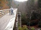
Green Cove - Creek Junction Trestle516 viewsMYRL DUNHAM / CREEK JUNCTION TRESTLE / CREEPER TRAIL BETWEEN GREEN COVE AND TAYLOR'S VALLEY, VA. Courtesy of Don Smith dsmith1043@comcast.net
|
|
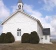
potckmeth.jpg515 viewsPhoto by Jeff Weaver 2004.
|
|
| 2351 files on 196 page(s) |
 |
|
|
|
|
|
|
|
|
166 | |
|
|
|
|
|
|
|
|



