Most viewed - Virginia Counties
|
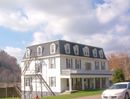
100_1833.jpg587 viewsThis photo was taken November 1, 2006 by Jeff Weaver. The structure was built in 1902.
|
|
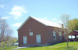
St. Clair's Bottom - St. Clair's Bottom Primitive Baptist Church587 viewsPhoto by Jeff Weaver, May 2006.
|
|
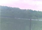
newrivercox.jpg586 viewsThis shot of the New River was taken in May 2005 by Jeff Weaver. This was probably the land of John or David Cox in the Revolutionary War period.
|
|
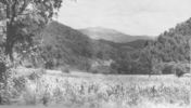
whitetop38.jpg586 viewsGeneral view of Whitetop mountain. Photo by the Virginia Department of Agriculture, 1938.
|
|
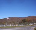
Haw Orchard - Haw Orchard Baptist Church Cemetery586 viewsPhoto October 18, 2006 by Jeff Weaver.
|
|
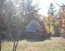
100_1763.jpg586 viewsPhoto by Jeff Weaver, October 18, 2006. Identification by Trula Fay Purkey.
|
|
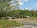
Cox's Chapel - Low Water Bridge586 viewsThis is the low water bridge over New River At Cox's Chapel. Photo May 11, 2007 by Jeff Weaver.
|
|
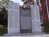
Dickenson County, Virginia's Veterans Memorial586 views
|
|
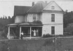
Troutdale - Unknown House585 viewsThis house and family are unidentified, but came from a collection of Troutdale area photos. Contact me if you have information jweaver300@aol.com. Thanks. Photo Courtesy of Anita Kay Wyatt.
|
|
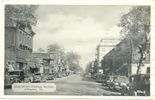
abingdon30.jpg584 viewsThis is taken from a 1930s postcard.
|
|
100_1539.jpg584 viewsPhoto April 14, 2006 by Jeff Weaver
|
|
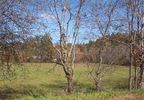
100_1760.jpg584 viewsThis photo was taken October 18, 2006 by Jeff Weaver. This field located near the intersection of U.S. 58 and VA 16 shows the antebellum Grayson County militia muster ground. The militia met here to perform military drills.
|
|
| 2351 files on 196 page(s) |
 |
|
|
|
|
|
|
|
|
144 | |
|
|
|
|
|
|
|
|



