Most viewed - Virginia Counties
|
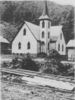
attowaylutheran.jpg615 viewsPhoto from the early 20th century.
|
|
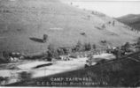
camptazewell1934.jpg615 viewsThis is a 1934 photo of Camp 54 of the Civilian Conservation Corps (CCC) in Tazewell, Virginia.
|
|
washingtonmills.jpg615 viewsThis is from a circa 1920 photograph.
|
|
100_1752.jpg615 viewsPhoto by Jeff Weaver, October 18, 2006.
|
|
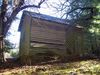
Baywood - Baywood Store615 viewsPhoto by Shawb Dubfrd. Courtesy of David Arnold
|
|
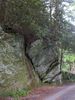
rock.jpg614 viewsThis is an unusual rock formation. Photo by Jeff Weaver, May 2005.
|
|
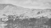
tazewell1906south.jpg614 viewsThis photographic view was created in 1906.
|
|
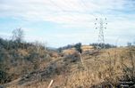
107_IN_1964084.jpg614 viewsThis January 1964 photo is courtesy of Don Smith. dsmith1043@comcast.net
|
|
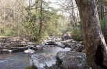
fallsoffox2.jpg613 viewsAnother picture taken in the summer of 2003 by Jeff Weaver
|
|
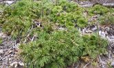
plant.jpg613 viewsThis is a sample of alpine flora located on Whitetop Mountain. This image was made of the Smyth county side of the county line by Jeff Weaver, 2003.
|
|
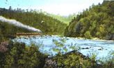
newrivertrain.jpg613 viewsThis is the New River Train between Galax and Fries. from a 1930s era postcard.
|
|
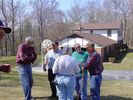
Rick Lindammod, Shirley Kurtz, Ginger Ballard, Ralph Winesette613 viewsApril 7, 2006, photo by Carol Lindamood. Photo of a group of people investigating reported Revolutionary War graves on Fisher's Gap Road. Left to right Charlie ________, Rick Lindamood, Shirley Kurtz (back to the camera), Ginger Ballard, and Ralph Winesette.
|
|
| 2351 files on 196 page(s) |
 |
|
|
|
|
|
|
|
|
136 | |
|
|
|
|
|
|
|
|



