Skip to content

New River Notes Photo Gallery

A Collection of historic and current photos mostly covering the upper New River area of southwestern Virginia and northwestern North Carolina.


Most viewed - Virginia Counties
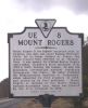
mtrogerssign~0.jpg
Mount Rogers Sign702 views
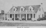
grantstavern.jpg
grantstavern.jpg701 viewsFrom a 1950 postcard.
100_1583.jpg
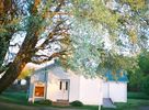
Mouth of Wilson - J. Cam Fields' Home701 viewsThis photo shows the Fields homeplace at Mouth of Wilson, with part of the Fields store visible on the left. Photo April 16, 2006 by Jeff Weaver
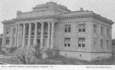
smythch1907.jpg
smythch1907.jpg701 viewsThis image is from a 1907 postcard.
pics 051.jpg
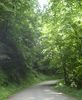
Mouth of Wilson - Round House Road701 viewsOne of the many dirt roads which still dot the Grayson County countryside. Photo by Jeff Weaver, June 8, 2007.
indehs.jpg
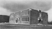
indehs.jpg700 viewsThis photograph is from the late 1930s.
100_1349.jpg
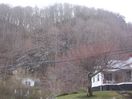
100_1349.jpg700 viewsRock Formation which makes up the western wall of Allison Gap. Photo by Jeff Weaver, March 26, 2006.
christiansburg50.jpg
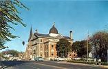
christiansburg50.jpg699 views This is a 1950s postcard.
stclairscreek.jpg
stclairscreek.jpg699 viewsPhoto May 2, 2006 by Sadie Greer.
comersrockhome1.jpg
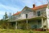
Comers Rock - Victorian Home698 viewsThis once elegant Victorian Home is located in downtown Comers Rock. Photo by Jeff Weaver, March 21, 2008.
100_1964.jpg
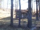
Troutdale - Typical Pioneer Cabin697 viewsPhoto by Jeff Weaver March 2007.
graysonhigh.jpg
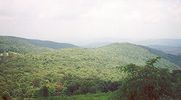
graysonhigh.jpg696 viewsPhoto of one of the views from Grayson Highlands State Park. Photo by Tracy McMillan Farmer.
2351 files on 196 page(s) 116