Skip to content

New River Notes Photo Gallery

A Collection of historic and current photos mostly covering the upper New River area of southwestern Virginia and northwestern North Carolina.


Most viewed - Virginia Counties
000_0703.JPG
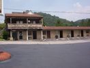
000_0703.JPG757 viewsThis photo was taken June 2005 by Jeff Weaver
fries01.jpg
fries01.jpg757 viewsThis is from a 1960s postcard.
paperboy.jpg
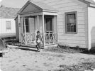
paperboy.jpg757 viewsThis October1941 photo shows a boy delivering newspapers to defense workers' homes near Radford, VA.
saltlibrary.JPG
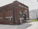
saltlibrary.JPG756 viewsPhoto taken by Jeff Weaver June 2005
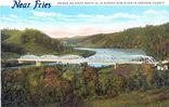
friesbridge.jpg
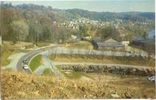
friesbridge.jpg756 viewsThis is a 1940s postcard view of the Bridge over the New River near Fries.
cedarspringsioof.jpg
cedarspringsioof.jpg756 viewsThis post card is from the 1920-30 era.
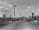
chilhowierrxing.jpg
chilhowierrxing.jpg756 viewsFrom a 1930s photograph.
pics 081.jpg
pics 081.jpg756 viewsWitten's Fort is located adjacent to the Crab Orchard Museum west of Tazewell, VA. Photo September 20, 2006 by Jeff Weaver.
blandch2.jpg
blandch2.jpg755 viewsDetail of the front of the Bland County, Court House. Photo by Jeff Weaver, 2002.
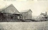
warricksstore.jpg
Rural Home - Warrick's Store755 viewsWarrick's Store, Rural Home P.O. (historic) Providence Dist. Grayson Co. VA. Photo by David Arnold
img_0090.jpg
Mouth of Wilson - Potato Creek Methodist Church Cemetery755 viewsCourtesy of Misty Martin
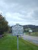
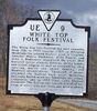
whitetopff.jpg
whitetopff.jpg754 viewsThis historical marker is located on Route 600 near the summit of Whitetop Mountain. Photo was taken in March 2003 by Jeff Weaver
2351 files on 196 page(s) 102