|
|
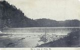
friesdam1907.jpg576 viewsThis is a 1907 postcard view of the Dam across New River at Fries.
|
|
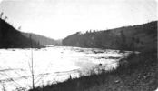
friesnewriver1922.jpg576 viewsThis is a January 1922 photo showing the New River near Fries, Virginia.
|
|
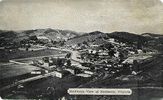
richlands1938.jpg576 viewsThis is a 1938 general view of the village of Richlands, VA.
|
|
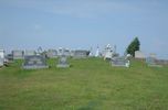
pics 022.jpg576 viewsPhoto by Jeff Weaver, September 10, 2006.
|
|
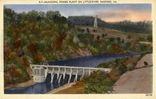
radfordpower.jpg576 viewsThis 1930-45 era postcard shows the hydroelectric power station for the City of Radford on Little River.
|
|
100_1823.jpg576 viewsPhoto November 1, 2006 by Jeff Weaver.
|
|
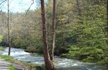
Picture 019.jpg575 viewsThis photo is of Laurel Creek between Laurel Bloomery, TN and Damascus, VA. Photo April 28, 2006 by Jeff Weaver
|
|
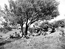
doughtonparkpicnic.jpg575 viewsThis 1952 photo from the National Park Service Historic Photographic Collections shows a group of picnicers at the Doughton Park area off the Blue Ridge Parkway.
|
|
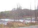
100_1893.jpg575 viewsAnother view of the Fields Dam across New River at Mouth of Wilson, VA. Photo November 29, 2006 by Jeff Weaver.
|
|

Klim's Branch School575 viewsPhoto by Shawn Dunford. Courtesy of David Arnold
|
|
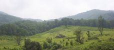
cmwr1.jpg574 viewsLocated near Saltville, Virginia, off Poor Valley Road. Photo by Jeff Weaver, summer 2003.
|
|
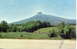
pilotmtn2.jpg574 viewsThis is a view of Pilot Mountain in the distance. Made in the 1950s.
|
|
| 4754 files on 397 page(s) |
 |
|
|
|
|
|
|
|
|
301 | |
|
|
|
|
|
|
|
|



