|
|
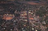
wytheville0001-1956.jpg872 viewsThis is a postcard view of Wytheville from 1956. Courtesy of Steve Grubb steppen_dawg@yahoo.com
|
|

pics 115.jpg872 viewsThis September 23, 2006 photo shows more agricultural exhibits at the festival.
|
|
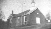
gcbc.jpg871 viewsThis photograph is from 1971 or 1972.
|
|
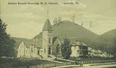
madamrmeth1920.jpg871 viewsThis view is from ca. 1915.
|
|
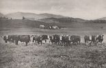
cattlesmythco.jpg871 viewsThis 1916 photograph shows cattle in Smyth County, VA, presumably in Rich Valley.
|
|
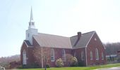
100_1534.jpg871 viewsPhoto by Jeff Weaver, April 14, 2006.
|
|
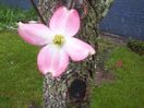
100_1620.jpg871 viewsPhoto April 21, 2006 by Jeff Weaver.
|
|

pics 056.jpg871 viewsNella is located along the banks of Big Horse Creek between Lansing and Whitetop. Photo September 13, 2006 by Jeff Weaver.
|
|
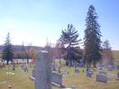
100_1813.jpg871 viewsPhoto October 25, 2006 by Jeff Weaver.
|
|
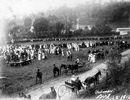
Saltville - Red Men Lodge871 viewsTHIS SCENE APPEARS TO BE IN THE WELL FIELD AREA WITH THE GEORGIA SALT FURNACE AREA BEYOND THE TREES.
IT APPARENTLY WAS SOME KIND OF CEREMONY OF THE RED MEN LODGE. THE LONG ARROW TRIBE NO. 24 BEGAN IN SALTVILLE IN 1907. THE LODGE CEASED TO EXIST IN THE EARLY 1950s. WHEN THEY BROKE UP THEY WERE MEETING IN THE TOP OF THE COMPANY STORE ON THE EAST END. This photo is dated September 20, 1913. Courtesy of Don Smith dsmith1043@comcast.net
|
|
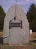
Galax - Osborne Cemetery871 viewsThe stone is massive. Located near the intersection of Nuckolls Curve Rd. & US 58 west of Galax in Grayson on private property still owned by the family. Photo by Shawn Dunford. Courtesy of David Arnold david.arnold@adelphia.net
|
|
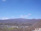
Saltville - Well Fields871 viewsPhoto by Jeff Weaver, March 22, 2006.
|
|
| 4754 files on 397 page(s) |
 |
|
|
|
|
|
|
|
|
167 | |
|
|
|
|
|
|
|
|



