Most viewed - Washington County, VA
|
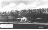
Meadowview - Camp Wildwood489 viewsThis is a late 1940s era postcard.
|
|
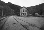
taylorsvalleydepot.jpg487 viewsFrom an early 20th century photograph.
|
|
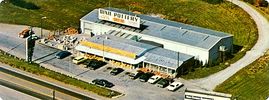
dixiepottery.jpg486 viewsThis 1960s promotional postcard shows the shopping mecca - Dixie Pottery. Their facility has greatly expanded since this aerial shot was taken.
|
|
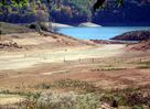
South Holston Lake - Snapp's Fence486 viewsIN NORMAL TIMES...THE FENCE CROSSING THE HOLLOW WAS A GOOD SPOT FOR CATCHING CRAPPIE. NOT NOW. Courtesy of Don Smithdsmith1043@comcast.net
|
|
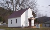
100_1301.jpg485 viewsA congregation met in this building a few years ago with the name of Evergreen Baptist Church. Photo March 19, 2006, by Jeff Weaver
|
|

pics 232~0.jpg485 viewsPhoto October 8, 2006 by Jeff Weaver.
|
|
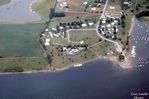
wheelerboatdock.jpg485 viewsThis July 1973 aerial photo is courtesy of Don Smith dsmith1043@comcast.net
|
|
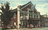
barter1945.jpg484 viewsThis is a circa 1945 view. The theater, the state theater of Virginia, was established in 1933.
|
|
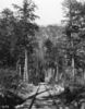
abingdonbranch1.jpg483 viewsAnother scenic view from the 1920s probably near Damascus.
|
|
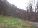
Tumbling Cove - Clinch Mountain Wildlife Management Area483 viewsPhoto by Jeff Weaver, March 30, 2007.
|
|
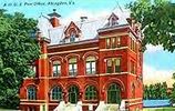
abingdonpo.jpg482 viewsEarly 20th century post card of the Abingdon, Virginia post office.
|
|
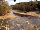
Alvarado - Confluence of the South and Middle Forks of Holsyon482 viewsCONFLUENCE OF THE MIDDLE AND SOUTH FORKS OF THE HOLSTON RIVER NEAR ALVARADO, VIRGINIA. THE MIDDLE FORK IS IN THE FOREGROUND WITH THE SOUTH FORK COMING IN FROM THE TOP OF THE PICTURE. THIS IS AT THE HEADWATERS OF SOUTH HOLSTON LAKE. THE PICTURE WAS TAKEN FROM THE CREEPER TRAIL WHICH CROSSES THE RIVER ON THE OLD VIRGINIA CREEPER RAILROAD TRESTLE. AS YOU CAN SEE, THE WATER LEVELS ARE QUITE LOW. Courtesy of Don Smithdsmith1043@comcast.net
|
|
| 269 files on 23 page(s) |
 |
|
|
|
|
|
8 | |
|
|
|
|
|
|
|
|
|
|
|



