Most viewed - Grayson County and City of Galax, VA
|

Roberts Cove - Barn671 viewsThis barn has seen better days. Photo by Jeff Weaver, March 21, 2008. Photoshopped into a watercolor image.
|
|

mtrogerssign.jpg670 viewsMount Rogers was called Balsam Mountain by the locals before the powers that be imposed the name Mount Rogers on the place. Photo by Jeff Weaver, March 2003.
|
|
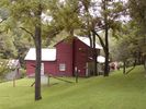
AnotherviewGWPark_shomeplace.jpg670 viewsCourtesy of Carol Lindamood circuitrider@tcia.net
|
|
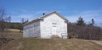
Barton's Cross Roads - Barton's Cross Roads Primitive Baaptist Church666 viewsThis building is on the Flat Ridge Road not far from Grant. Photo by Jeff Weaver, Spring 2003.
|
|
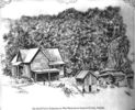
houkhse.jpg666 viewsCourtesy of Thom Houk.
|
|
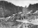
peachbottommill.jpg665 viewsThis circa 1900 image shows a grist mill on Peach Bottom Creek, just north of the town of Independence.
|
|
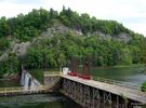
Fries - Dam on New River664 viewsPhoto May 17, 2007 by Don Smith dsmith1043@comcast.net
|
|
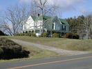
Baywood - Kemper Hampton House663 viewsThis house was built in 1895. This 2006 photo courtesy of Wade Weekes weekesh@earthlink.net
|
|
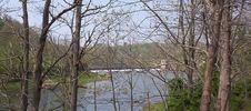
fieldsdam.jpg661 viewsPhoto by Jeff Weaver, spring 2004.
|
|
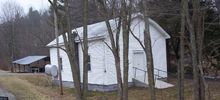
foxcreekubc.jpg661 viewsPhoto by Jeff Weaver, winter 2003.
|
|
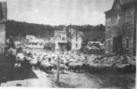
galax2.jpg661 viewsThis is from a very early 20th century postcard.
|
|
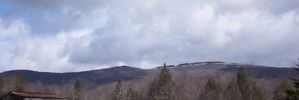
whitetopmtn.jpg660 viewsThis view of Whitetop Mountain taken from Whitetop Village, spring 2003.
|
|
| 631 files on 53 page(s) |
 |
|
|
|
|
|
|
|
|
26 | |
|
|
|
|
|
|
|
|



