Skip to content

New River Notes Photo Gallery

A Collection of historic and current photos mostly covering the upper New River area of southwestern Virginia and northwestern North Carolina.


Most viewed - Tazewell County, VA
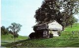
wittensfort.jpg
wittensfort.jpg748 viewsThis is a relatively modern photo of Witten Fort, built during Lord Dunmore's War (1774).
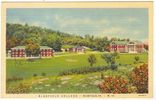
bluefieldcollege.jpg
bluefieldcollege.jpg722 viewsThis is a 1936 postcard view of Bluefield College.
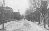
tazewellmain1907.jpg
tazewellmain1907.jpg708 viewsThis view of Main Street was taken in 1907. Compare to the 1957 view.
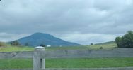
pics 075.jpg
pics 075.jpg692 viewsThis is Laurel Gap Mountain. Photo September 20, 2006 by Jeff Weaver.
peaktazewell.jpg
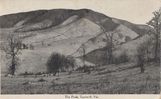
peaktazewell.jpg638 viewsThis is a 1909 postcard.
mapleshadecem.jpg
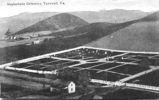
mapleshadecem.jpg629 viewsThis view of the Maple Shade Cemetery was taken about 1920.
camptazewell1934.jpg
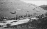
camptazewell1934.jpg614 viewsThis is a 1934 photo of Camp 54 of the Civilian Conservation Corps (CCC) in Tazewell, Virginia.
tazewell1906south.jpg
tazewell1906south.jpg612 viewsThis photographic view was created in 1906.
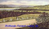
richlands~0.jpg
richlands~0.jpg605 viewsThis is a 1930-45 view of the scenery near Richlands, Va.
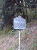
pics 073.jpg
pics 073.jpg605 viewsThis historical marker is located at the Smyth/Tazewell County line on VA Route 91 near Tannersville. Photo September 20, 2006 by Jeff Weaver.
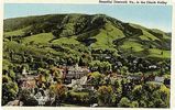
tazewell4-3.jpg
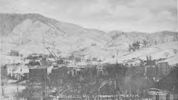
Tazewell - Panoramic View587 viewsFrom a 1930s era postcard.
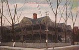
pocahontasinn.jpg
pocahontasinn.jpg586 viewsThis view is circa. 1910.
56 files on 5 page(s) 3