Grayson County and City of Galax, VA
|
|
|
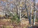
100_1750.jpg586 viewsThis photo taken October 18, 2006 by Jeff Weaver shows a white birch and a balsam fir near the Grayson Highlands State Park visitors' center.
|
|
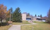
Grayson Highlands State Park - Visitor Center504 viewsPhoto by Jeff Weaver, October 18, 2006.
|
|
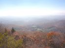
100_1752.jpg611 viewsPhoto by Jeff Weaver, October 18, 2006.
|
|
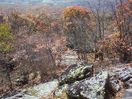
100_1753.jpg531 viewsThis photo shows some of the rock formations at Massie Gap on Haw Orchard Mountain. Photo by Jeff Weaver, October 18, 2006.
|
|
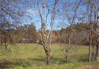
100_1760.jpg576 viewsThis photo was taken October 18, 2006 by Jeff Weaver. This field located near the intersection of U.S. 58 and VA 16 shows the antebellum Grayson County militia muster ground. The militia met here to perform military drills.
|
|

100_1761.jpg575 viewsPhoto by Jeff Weaver, October 18, 2006.
|
|
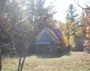
100_1763.jpg581 viewsPhoto by Jeff Weaver, October 18, 2006. Identification by Trula Fay Purkey.
|
|
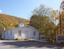
100_1764.jpg534 viewsPhoto by Jeff Weaver, October 18, 2006.
|
|
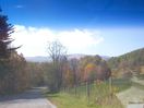
100_1766.jpg507 viewsThis is a view of Pine Mountain taken from Razor Ridge Road, October 18, 2006 by Jeff Weaver.
|
|
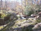
100_1773.jpg635 viewsThis October 18, 2006 photo by Jeff Weaver shows a small water fall on Fox Creek.
|
|
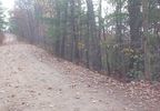
100_1819.jpg590 viewsPhoto November 1, 2006 by Jeff Weaver. I know the little bird is hard to see, camoflague. The road is the National Forest Service road to Comer's Rock and Hale Lake.
|
|
100_1821.jpg518 viewsThis photo taken November 1, 2006 by Jeff Weaver.
|
|
| 631 files on 53 page(s) |
 |
|
|
5 | |
|
|
|
|
|
|
|
|
|
|
|
|
|
|



