|
|
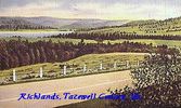
richlands~0.jpg600 viewsThis is a 1930-45 view of the scenery near Richlands, Va.
|
|

Tannersville - Snow!4015 viewsSnow in Tannersville, January 31, 2010. Courtesy of Don Smith.
|
|
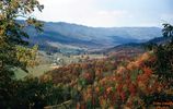
tannersville101963.jpg1021 viewsTHIS PICTURE WAS TAKEN FROM HWY 16 ON BRUSHY MOUNTAIN LOOKING NORTHEAST INTO THE ROARING FORK AREA OF THE JEFFERSON NATIONAL FOREST. THIS IS THE NORTHEAST END OF THE SAME VALLEY THAT HOLDS TANNERSVILLE. This image was made October 1963 by Dom Smith dsmith1043@comcast.net
|
|
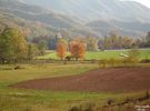
Tannersville - Pastoral Scene824 viewsTannersville in October. Courtesy of Don Smith dsmith1043@comcast.net
|
|

Tazewell - Tazewell Methodist Episcopal Church829 viewsThis is from an early 1930s linen postcard.
|
|
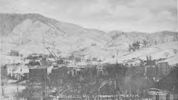
tazewell1906south.jpg607 viewsThis photographic view was created in 1906.
|
|
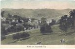
tazewell1914.jpg541 viewsThis postcard was mailed in 1914.
|
|
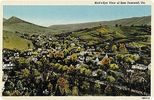
East Tazewell - Birds Eye View1262 viewsFrom a 1930s era postcard.
|
|
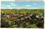
Tazewell - Schools and Church504 viewsThis is from a 1930s era linen postcard.
|
|
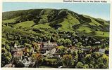
Tazewell - Panoramic View582 viewsFrom a 1930s era postcard.
|
|
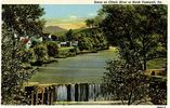
North Tazewell - Clinch River Scene519 viewsFrom a 1930s era linen postcard.
|
|
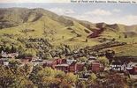
tazewellbev.jpg830 viewsThis postcard was made in the early part of the 20th century.
|
|
| 56 files on 5 page(s) |
 |
|
4 |
|



