|
|
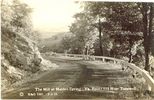
maidenspringmill.jpg875 viewsThis is a 1931 postcard.
|
|
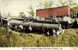
malletwreck.jpg1215 viewsThis post card is circa 1910.
|
|
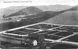
mapleshadecem.jpg623 viewsThis view of the Maple Shade Cemetery was taken about 1920.
|
|
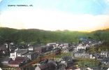
ntazewell1909.jpg962 viewsThis is a 1909 postcard view of North Tazewell.
|
|
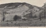
peaktazewell.jpg637 viewsThis is a 1909 postcard.
|
|
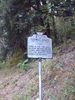
pics 073.jpg601 viewsThis historical marker is located at the Smyth/Tazewell County line on VA Route 91 near Tannersville. Photo September 20, 2006 by Jeff Weaver.
|
|
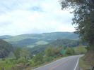
pics 074.jpg851 viewsPhoto September 20, 2006 by Jeff Weaver.
|
|
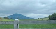
pics 075.jpg689 viewsThis is Laurel Gap Mountain. Photo September 20, 2006 by Jeff Weaver.
|
|
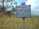
pics 077.jpg952 viewsPhoto September 20, 2006 by Jeff Weaver
|
|
pics 079.jpg495 viewsPhoto September 20, 2006 by Jeff Weaver.
|
|
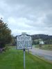
pics 081.jpg752 viewsWitten's Fort is located adjacent to the Crab Orchard Museum west of Tazewell, VA. Photo September 20, 2006 by Jeff Weaver.
|
|
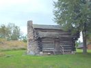
pics 082.jpg989 viewsThis building is on the grounds of the Crab Orchard Museum and Pioneer Park. Photo September 20, 2006 by Jeff Weaver.
|
|
| 56 files on 5 page(s) |
2 |  |
|
|



